In short
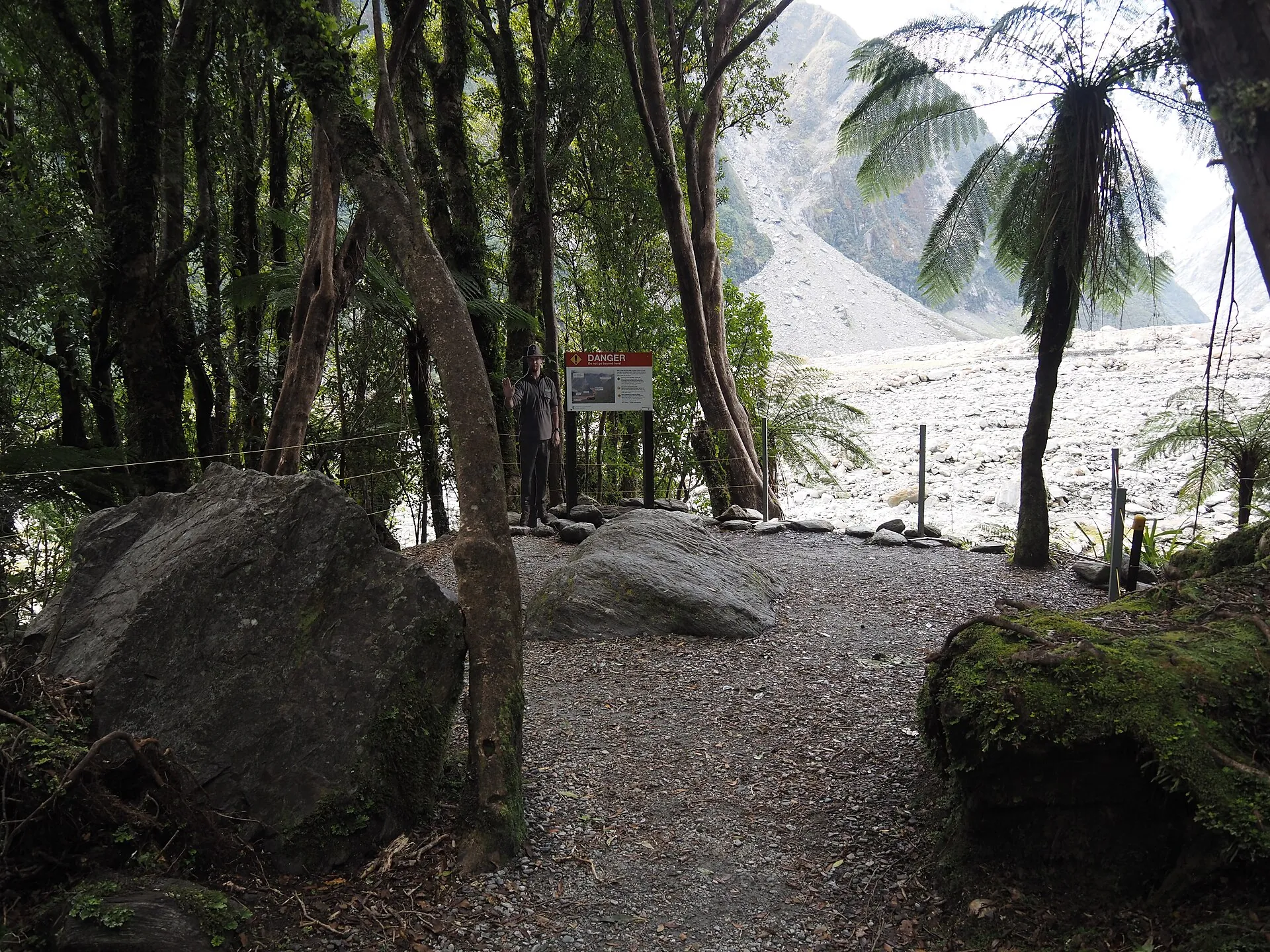
- The free Franz Josef Glacier Walk is now short: about 1.7 km and 30 minutes return from the car park at the end of the 4 km Glacier Access Road, to a viewpoint about 3 km from the glacier's face. The river blocks any further access.
- Better views for little effort: Sentinel Rock (20 min return), Peters Pool (25 min, wheelchair accessible) and the Douglas Walk (1 h). For the best walking view of the glacier, hike Alex Knob (8 h return) or Roberts Point (5 h 20 min, advanced) on a clear day.
- Fox Glacier: the South Side Walkway/Cycleway (6.4 km, 2 h return) reaches viewpoints hundreds of metres from the ice. Lake Matheson (1 h 30 min loop) is the area's most famous walk.
- Parking at the Franz Josef Glacier car park costs NZ$2.50 per half hour or NZ$20 a day (card only, free under 10 minutes). Or walk or cycle there from the village on Te Ara a Waiau (8.7 km return).
- Stay behind the barriers. Rivers rise in minutes and the ice face collapses without warning. Check the daily glacier access report and track conditions at the DOC visitor centre (69 Cron Street).
Can you walk to Franz Josef Glacier?
You can walk towards it, but not onto it. Until the early 2010s the valley track ended within a few hundred metres of the ice, and guided groups climbed onto the glacier from below. Since the glacier's fast retreat after 2008 and the collapse of its terminal face in 2012, the lower valley has become an unstable mix of river channels, rockfall and stagnant ice. The DOC track has been pulled back accordingly.
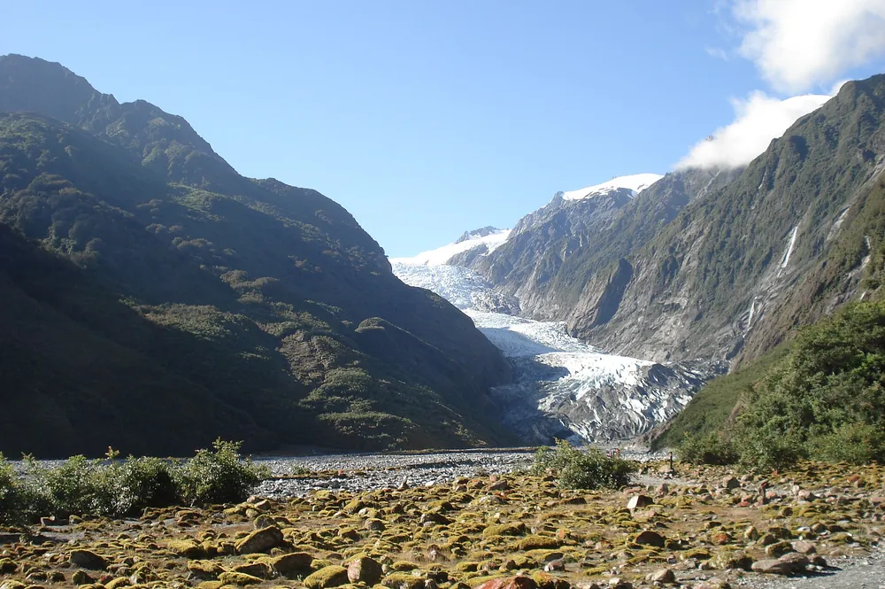
Today the Franz Josef Glacier / Kā Roimata o Hine Hukatere Walk is a 30-minute, 1.7 km return walk through rainforest to a riverbank viewpoint. From there you see the glacier about 3 km away, with waterfalls on the valley walls and glimpses of the upper glacier and peaks. It is worth doing, but the shorter side walks below often give better views, and on a clear day the longer hikes are spectacular.
Valley tracks and the access road can close at short notice for ice collapse, flooding or rock fall. Glacier Country Tourism publishes a daily glacier access report, and the DOC visitor centre has the current track conditions and the forecast.
- Glacier Walk
- 1.7 km return, 30 min, easy; viewpoint ≈ 3 km from the face
- Start
- Car park at the end of the Glacier Access Road, ≈ 4 km from SH6
- Parking (DOC)
- NZ$2.50 per half hour or NZ$20 per day; cards only; free under 10 min
- Toilets
- Flush toilets at the car park, none further up the valley
- Visitor centre
- Westland Tai Poutini NP Visitor Centre, 69 Cron Street, +64 21 947 990
Franz Josef walks at a glance
All times are DOC's return times at an average pace. Most walks start from the glacier car park or the Alex Knob/Lake Wombat car park about 2 km up the Glacier Access Road. To get there, drive south from the village, cross the Waiho River bridge and turn left.
| Walk | Return distance | Time | Grade | Highlights |
|---|---|---|---|---|
| Sentinel Rock | 900 m | 20 min | Easy, short climb | Best quick view of the glacier and Waiho River; retreat photos on the panels |
| Peters Pool | 1.1 km | 25 min | Wheelchair accessible | Kettle lake formed about 200 years ago; reflections of the valley |
| Franz Josef Glacier Walk | 1.7 km | 30 min | Easy | Riverbank viewpoint ≈ 3 km from the face, waterfalls |
| Douglas Walk | 3.9 km | 1 h | Easy–intermediate | Moraines from 1600–1750, Peters Pool, historic Douglas Bridge |
| Lake Wombat | 3.8 km | 1 h 30 min | Easy–intermediate | Rimu forest, kettle lake formed ≈ 9,000 years ago, birdlife |
| Callery Gorge | 5.2 km | 1 h 20 min | Easy–intermediate | Gold-mining water race, historic Callery Gorge bridge (from the village) |
| Tatare Tunnels | 3.6 km | 1 h 20 min | Easy–intermediate | Miners' water tunnels; torch needed, wet feet likely (from the village) |
| Te Ara a Waiau (walk/cycle) | 8.7 km | 2 h walk / 1 h cycle | Grade 2 cycle | Village to glacier car park through rainforest |
| Roberts Point | 12.3 km | 5 h 20 min | Advanced tramping | Swing bridges, unbridged creeks, close view over the glacier |
| Alex Knob | 17.2 km | 8 h | Advanced, steep | The best walking view of the glacier, alpine herbfields |
The short walks in detail
Sentinel Rock (20 min return). A short, steady climb up a bush-covered knob of schist that the glacier ground into a roche moutonnée, a "sheep rock". In 1865, when Julius von Haast came up the valley, Sentinel Rock had just emerged from the ice. Until 1909 the glacier still pressed against Harper Rock just in front of it. The panels at the top show how far the ice has gone since: more than 3 km. In our view it is the best 20 minutes you can spend at Franz Josef without a helicopter.
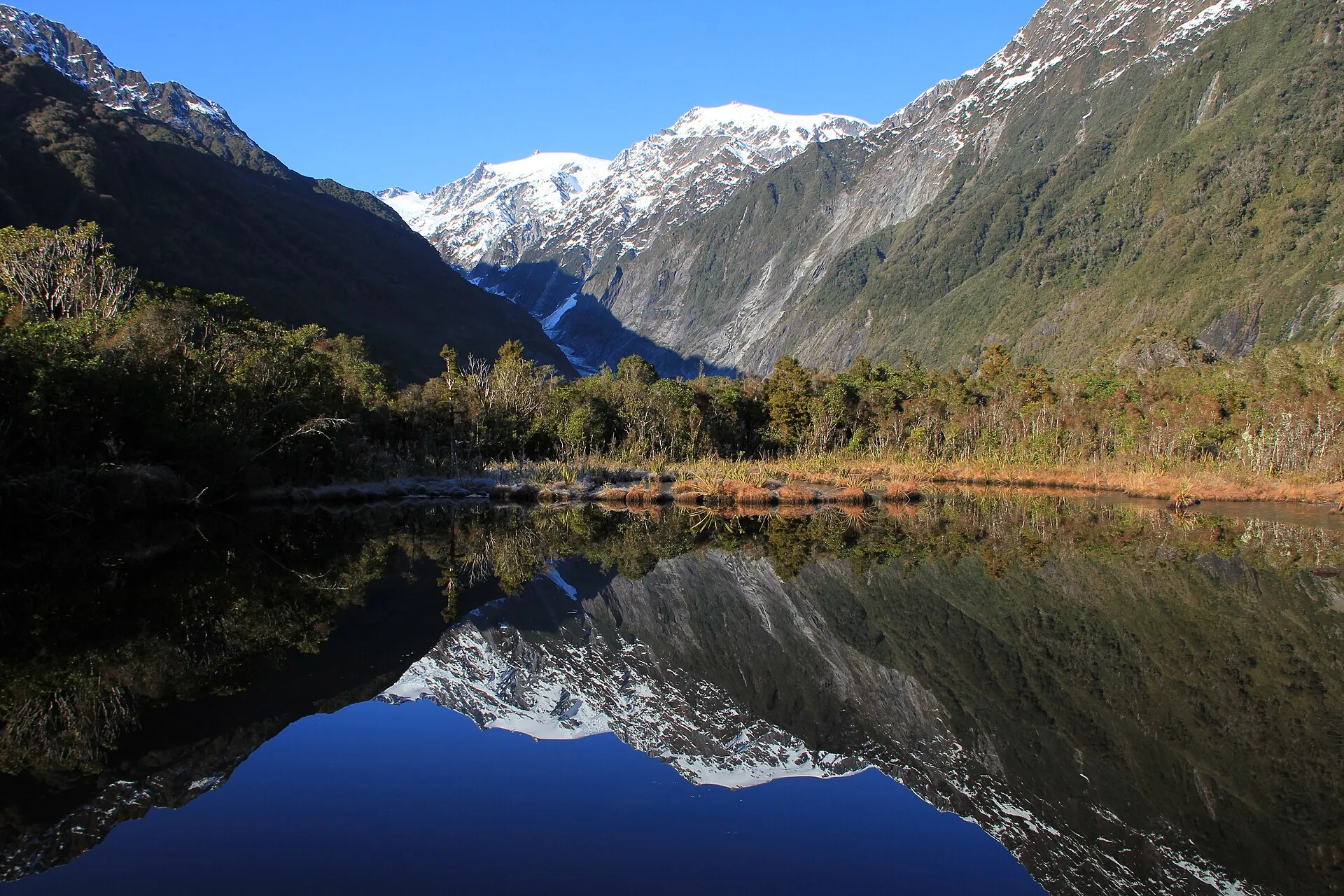
Peters Pool (25 min return, wheelchair accessible). A fully accessible path through young rainforest to a small kettle lake. It formed about 200 years ago, when a block of buried ice melted out of the moraine. On a calm morning the pool mirrors the valley and the peaks. It is a good walk with children.
Douglas Walk (1 h return). A loop of sorts over glacial landforms laid down between about 1600 and 1750. As you walk, the forest changes with the age of the ground. On the newest surfaces there are lichens, mosses and shrubs such as tutu and tree daisies; older ground carries young rātā and kāmahi, then mature forest. It passes Peters Pool and ends at the historic Douglas Bridge over the Waiho, where Roberts Point Track begins.
Lake Wombat (1 h 30 min return). A fern-lined climb through rimu forest to a quiet kettle lake formed about 9,000 years ago. It is named after Jack Irwin, alias "Wombat Jack", who sluiced for gold here in the 1800s. Walk quietly and you may see tūī, bellbirds, tomtits and kererū.
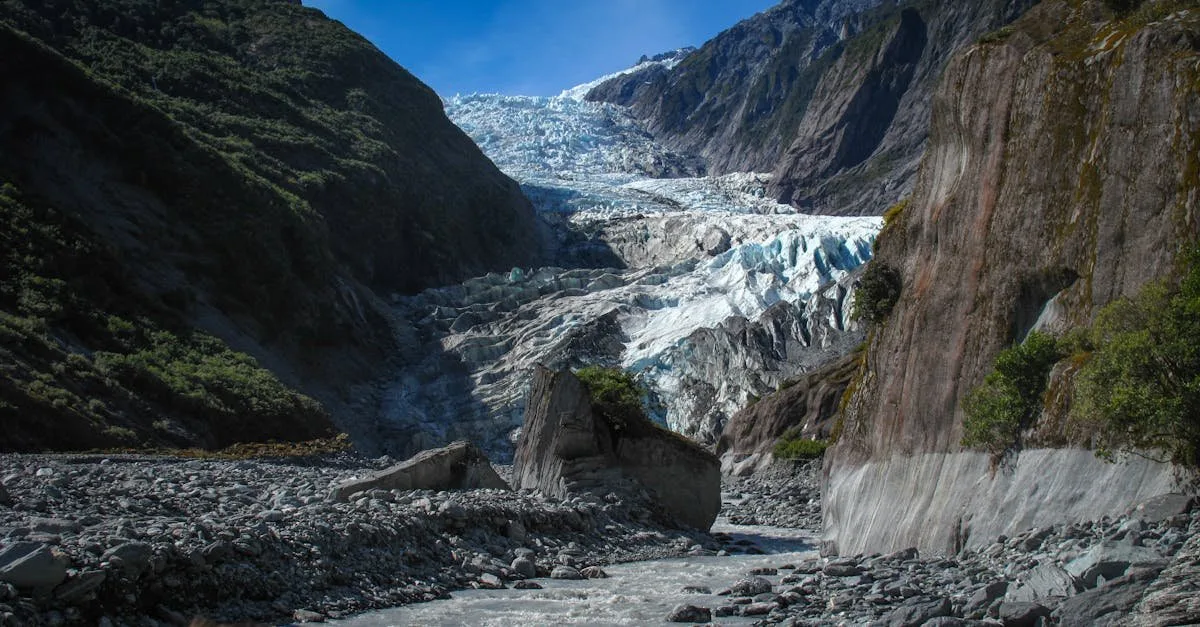
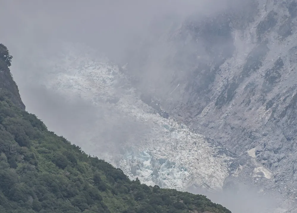
The view up the Waiho valley towards the glacier: the ice once filled this valley to the trees on the skyline.
The day hikes: Alex Knob and Roberts Point
Alex Knob (17.2 km, about 8 hours return) is, in DOC's words, the best view of Franz Josef Glacier without taking a helicopter. The track starts on the right-hand side of the Glacier Access Road at the Alex Knob/Lake Wombat car park, about 2 km from SH6. It climbs steadily through lowland forest to Rata Lookout (about 2 hours), continues more gently for an hour to Christmas Lookout, then climbs through subalpine scrub to alpine meadows and herbfields to the summit. The views of the glacier, mountains and the sea are huge. Start early in summer, because afternoon cloud often hides the view. It is steep and needs moderate to high fitness.
Roberts Point (12.3 km, about 5 hours 20 minutes return) is for experienced, well-equipped hikers. From the glacier car park you follow the Douglas Walk to Douglas Bridge, then a rough track with tree roots, rock slabs, swing bridges and many unbridged creek crossings. These are not safe to cross when running high. The track ends at a lookout high above the lower glacier. DOC advises attempting it only in fine weather, because the rock slabs are very slippery when wet or icy.
For both: carry warm and waterproof layers, food and water, insect repellent and a charged phone (coverage is patchy). Tell someone your plans and check track conditions at the visitor centre the day before.
Te Ara a Waiau: walk or cycle from the village
No car, or tired of paying for parking? Te Ara a Waiau Walkway/Cycleway links the village with the glacier car park: 8.7 km return, about 2 hours on foot or 1 hour by bike (Grade 2). Pick it up on SH6 outside the DOC visitor centre. It runs under the Waiho River bridge and along a marked lane beside the Glacier Access Road for about 1.7 km, then dives into the forest, crosses the road (give way to traffic) and winds up the valley through rainforest. Cyclists must leave bikes at the rack at the end; bikes are not allowed on the other valley tracks.
Fox Glacier walks
Fox Glacier South Side Walkway/Cycleway (6.4 km, 2 hours return; 1 hour by bike). Drive 2 km south of Fox Glacier township, cross the Fox River bridge and park on the left. The track follows the south bank of the Fox River through ancient podocarp rainforest, over moraine surfaces of different ages. The first glacier viewpoint is about 40 minutes in. The track continues to an old car park, where bikes must be left, then winds about 10 minutes downhill to a viewpoint of Fox Glacier / Te Moeka o Tuawe. Do not go further: DOC warns of an extreme flood hazard beyond it. The viewpoints are hundreds of metres from the face.
Fox's former north-side valley road and the walk to the terminal face have been badly damaged by floods and landslides, and access there changes from year to year. Check the daily glacier access report before relying on it. For the glacier from afar, Peak Viewpoint, a short drive towards the coast (about 9 km from the village), gives panoramic views of the Fox névé and the Southern Alps. It is outstanding at sunset.
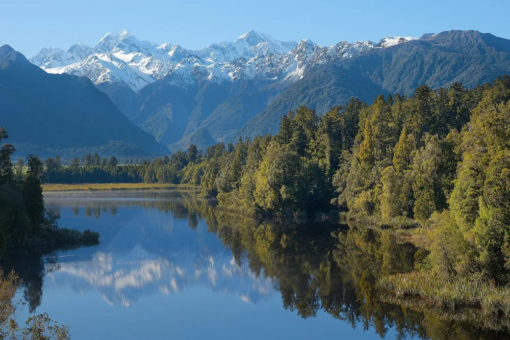
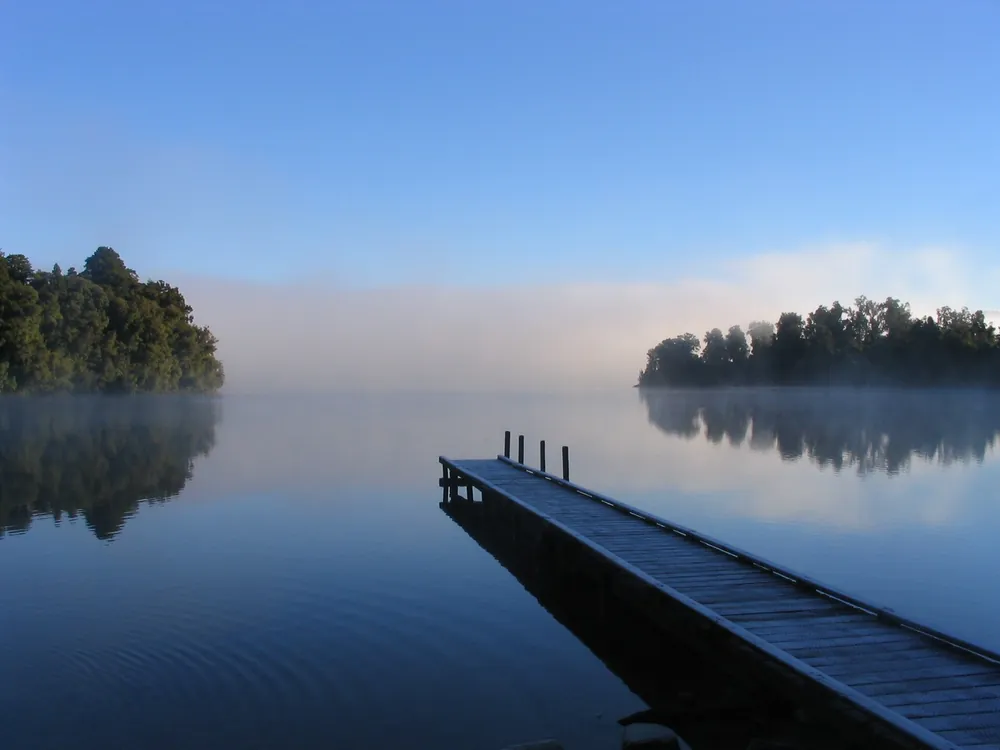
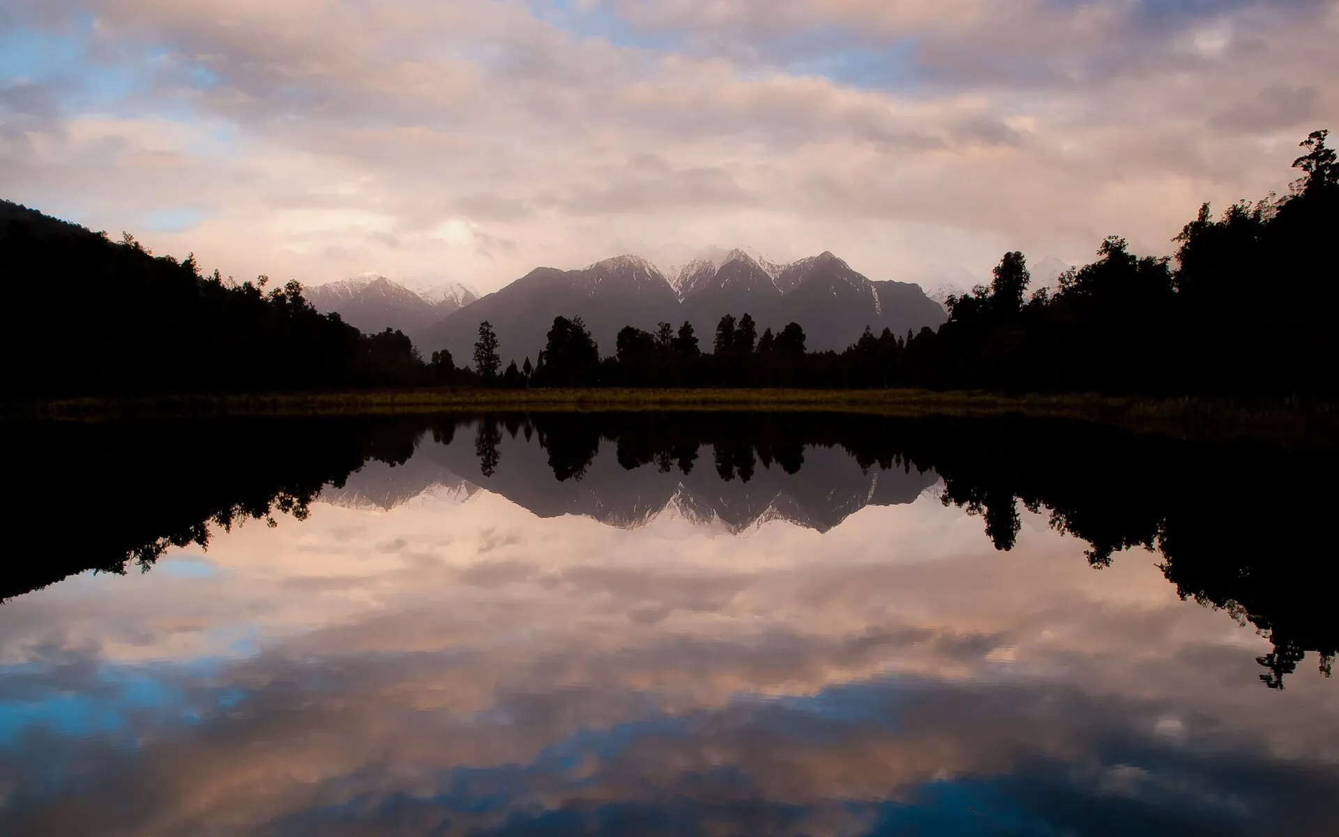
Also around Fox: Minnehaha Walk (1.2 km loop, 20 min, wheelchair and buggy friendly, glow-worms after dark) starts on SH6 just past the Bella Vista Motel. Lake Matheson (4.4 km loop, 1 h 30 min) and the Lake Gault track that branches from it are 5 km out on Cook Flat Road. The Gillespies Beach walks (from a few minutes to about 3.5 hours, including the walk to the Galway Beach seal colony) are at the end of the coast road. More in our Fox Glacier guide.
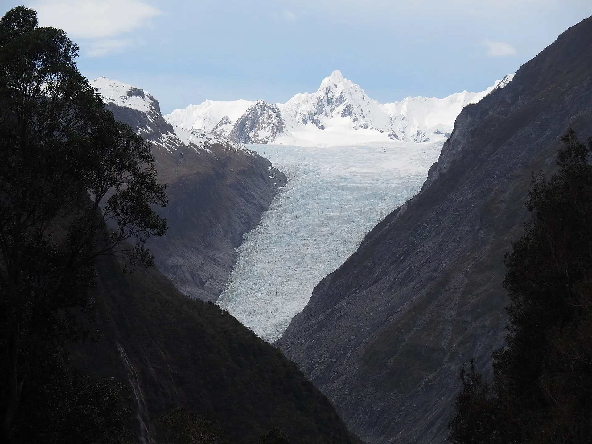
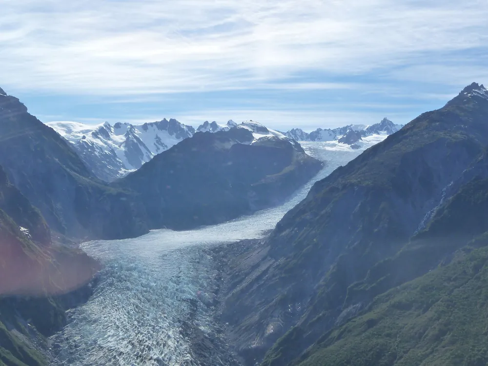
Fox Glacier from the south side of the valley: viewpoints are hundreds of metres from the ice.
Guided valley walks
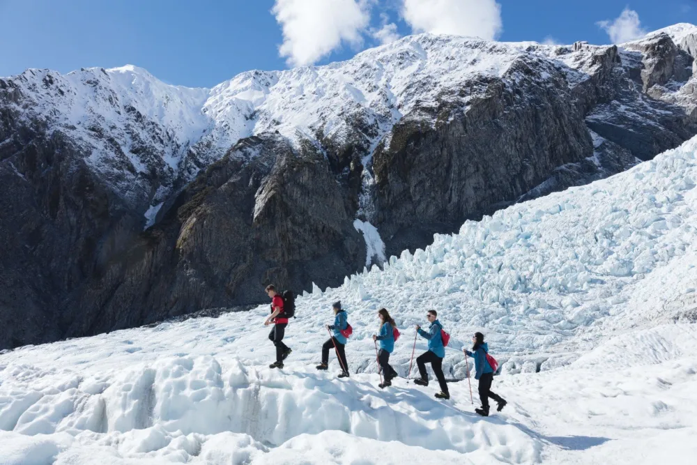
If you want more than a viewpoint, a local guide adds the stories you would otherwise walk past: plant succession on the moraines, the Alpine Fault, kea, rimu and rātā, glacier history and Māori names. Glacier Valley Eco Tours runs a 3-hour Franz Josef Glacier lookout walk and a 4-hour Fox Glacier walking and nature tour. It also runs a half-day nature tour to Lake Matheson and a half-day guided tour to Ōkārito. These are good rainy-day options too; the rainforest is at its best when wet.
On GetYourGuideGlacier Valley Eco ToursAll Glacier Valley Eco Tours walks on GetYourGuideSee all their tours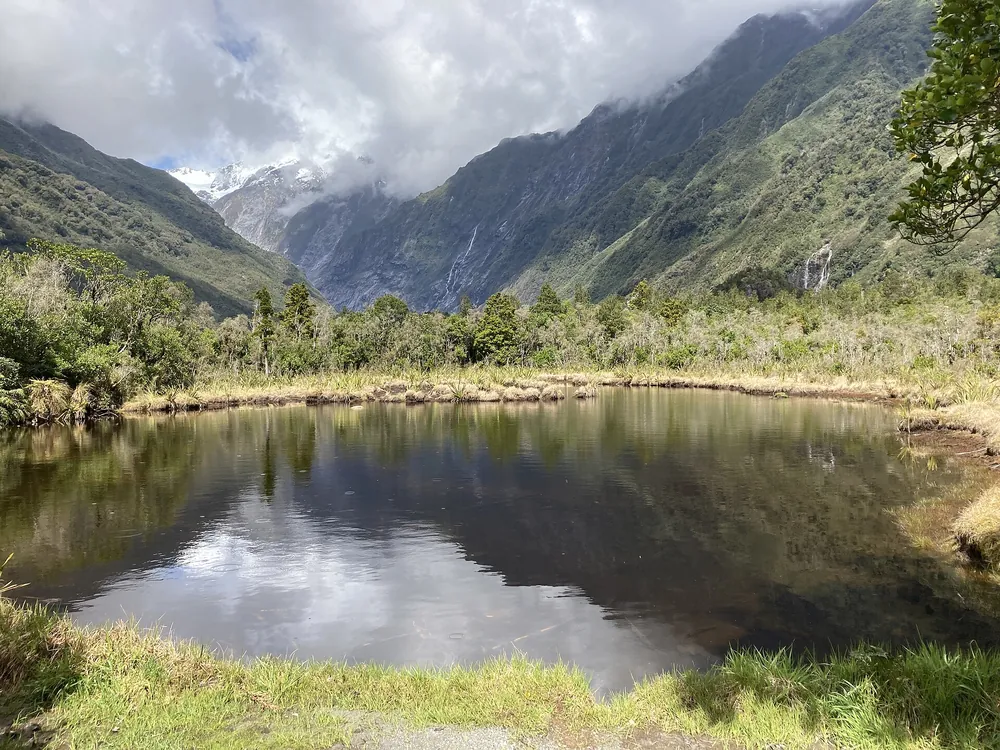
Franz Josef Glacier lookout guided walk
Glacier Valley Eco Tours: a small-group walk into the glacier valley with natural history, geology and Māori names. Rated 4.8 (172 reviews) as of November 2026.
Check availabilityBook via GetYourGuide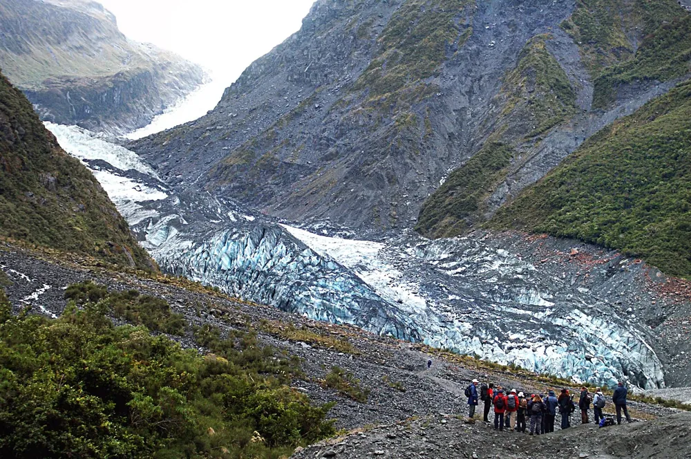
Fox Glacier: half-day walking & nature tour
A local guide leads you through rainforest and moraine to Fox Glacier viewpoints. Rated 4.7 (190 reviews) as of November 2026.
Check availabilityBook via GetYourGuide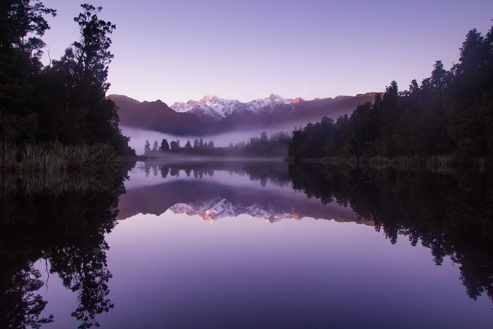
Half-day nature tour to Lake Matheson
Transport from Franz Josef and a guided walk around the mirror lake below Aoraki/Mount Cook. Rated 4.9 (20 reviews) as of November 2026.
Check availabilityBook via GetYourGuideTour listings are on GetYourGuide. Prices, times and cancellation terms are shown live on each listing and can change (glacier flights depend on the weather); FranzJosef.com may earn a commission at no extra cost to you.
Be prepared: weather, sandflies and kea
- Weather: carry warm and waterproof clothing on every walk. A cold down-draught off the glacier is normal in the valley, and rainstorms catch visitors by surprise. Forecasts: MetService or the NIWA national park forecast, and the DOC visitor centre.
- Sandflies: bring insect repellent. They are fierce at Lake Matheson, Gillespies Beach and on the riverbanks, especially on calm, overcast days.
- Kea: the alpine parrot is common around the glacier car parks. Do not feed them. Feeding harms their health and causes the destructive behaviour they are unfairly blamed for.
- Rubbish: no bins in the valley, so take everything out with you.
- Drones: prohibited on conservation land without a permit, and dangerous with helicopters overhead.
- Gold fossicking: allowed by hand in a designated area of the Waiho riverbed between the Callery Gorge bridge and the SH6 bridge. Never cross the Waiho or Callery rivers on foot.
Frequently asked questions
How long is the Franz Josef Glacier walk?
The Franz Josef Glacier / Kā Roimata o Hine Hukatere Walk is about 1.7 km return and takes about 30 minutes from the car park at the end of the Glacier Access Road.
How close can you walk to Franz Josef Glacier?
The valley viewpoint is about 3 km from the terminal face. The river blocks further access, and the face is unstable. To get onto the ice you need a heli hike or a flight with a snow landing.
What is the best free walk at Franz Josef?
For a short walk, Sentinel Rock (20 minutes return). On a clear day with fitness to spare, Alex Knob (8 hours return) gives the best walking view of the glacier.
Is parking free at Franz Josef Glacier?
No. DOC charges NZ$2.50 per half hour or NZ$20 a day at the glacier car park (cards only), free if you leave within 10 minutes. You can walk or cycle from the village on Te Ara a Waiau instead.
Can you walk to Fox Glacier?
You can walk to viewpoints on the Fox Glacier South Side Walkway (2 hours return), which stop hundreds of metres from the ice. Access to the north side of the valley has been repeatedly closed by floods and slips.
Are the glacier walks suitable for children and wheelchairs?
Peters Pool at Franz Josef, the Minnehaha Walk at Fox and the first part of the Lake Matheson walk (to Jetty Lookout) are wheelchair accessible. Sentinel Rock and the Glacier Walk are easy for children.
Sources and official information
Facts were checked against these official sources in November 2026. Opening hours, prices and timetables change, so confirm before you go.
- doc.govt.nz
- doc.govt.nz
- doc.govt.nz
- doc.govt.nz
- doc.govt.nz
- doc.govt.nz
- doc.govt.nz
- glaciercountry.co.nz
- glaciercountry.co.nz
FranzJosef.com is an independent guide, not the official site of any glacier operator, the Department of Conservation or the Westland District Council. Some links are affiliate links: tours go to GetYourGuide and hotels go to Booking.com, and we may earn a commission at no extra cost to you.