In short
- Ngāi Tahu travelled this coast for centuries, gathering pounamu (greenstone) and food from the lakes and lagoons. The hapū Kāti Māhaki ki Makaawhio hold mana whenua, with their marae at Mahitahi / Bruce Bay.
- 1865: geologist Julius von Haast named the glacier after Emperor Franz Joseph I of Austria. The same year, a gold rush filled the black-sand beaches with thousands of miners; Ōkārito, Five Mile and Gillespies boomed and emptied within about 18 months.
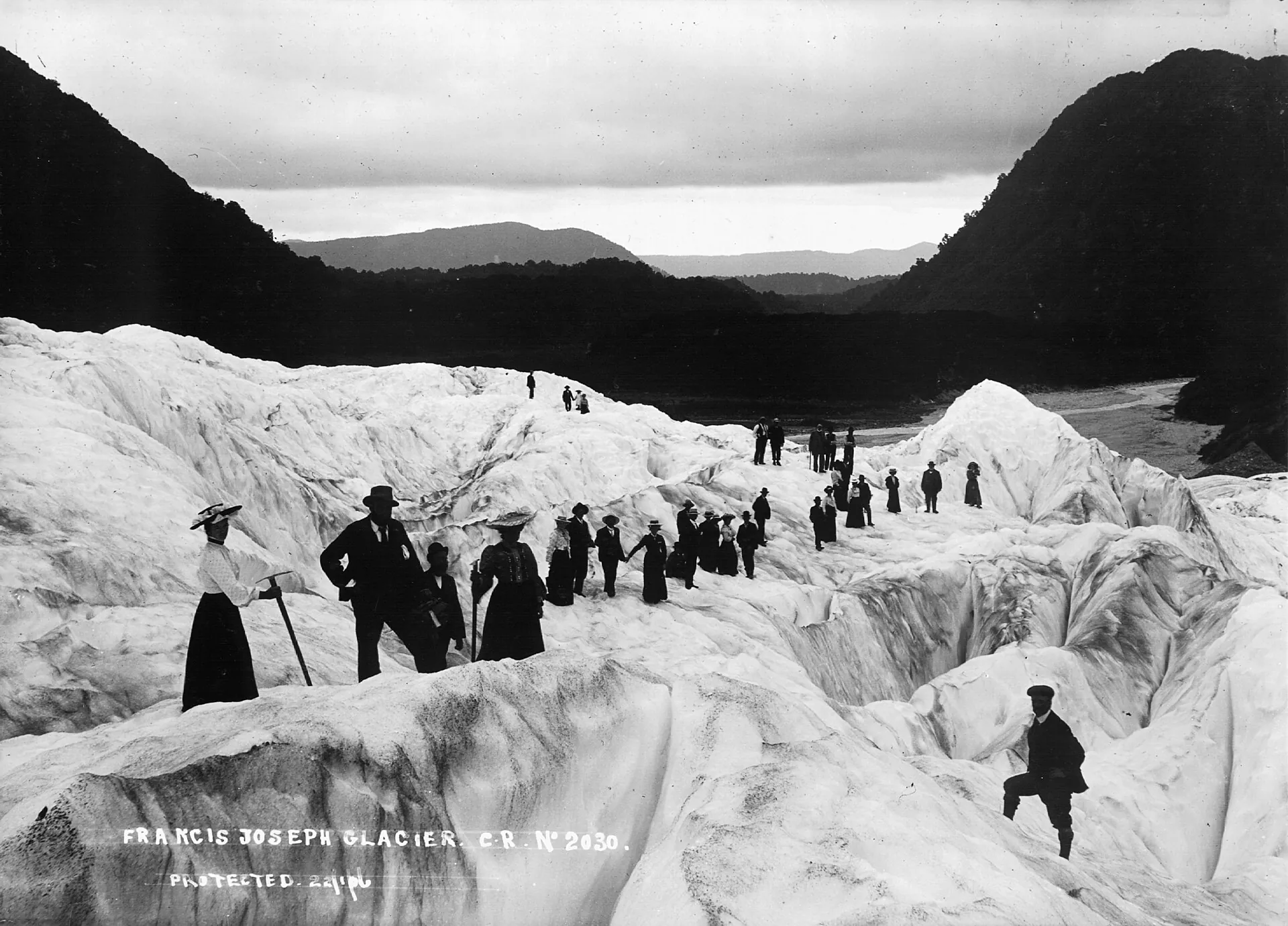
- Early 1900s: tourism took over. The Graham family ran the hotel and guided visitors onto the ice, and the government built tracks, huts and the Copland route.
- 1960: Westland National Park proclaimed (now Westland Tai Poutini). 1990: part of the Te Wāhipounamu World Heritage Area. 1998: dual Māori names restored.
- 2012–2019: the terminal face collapsed and walking access ended. Helicopters took over, and the Waiho River destroyed the SH6 bridge in March 2019.
Kāti Māhaki and the pounamu coast
Long before the glaciers had European names, they had a story. Ngāi Tahu tell of Hine Hukatere, who loved the mountains, and her lover Tuawe, who was killed by an avalanche. Her tears, frozen by Ranginui, became Kā Roimata o Hine Hukatere, and Fox Glacier, Te Moeka o Tuawe, is his resting place. These names are the oldest layer of the glaciers' history, and since 1998 they have been official.
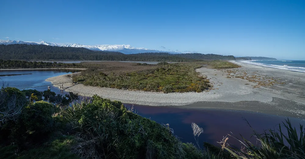
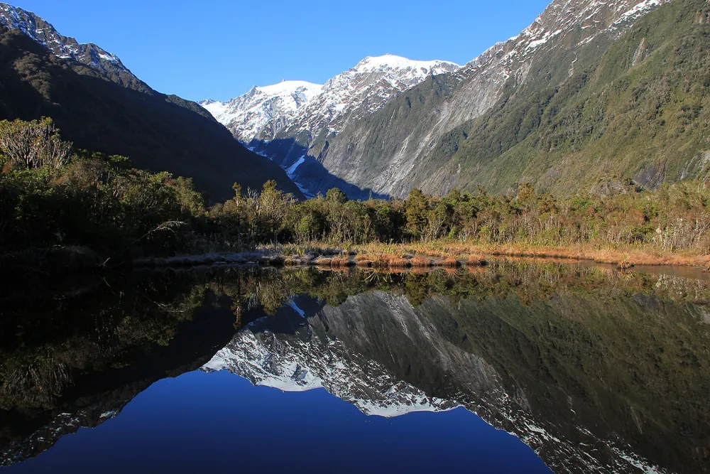
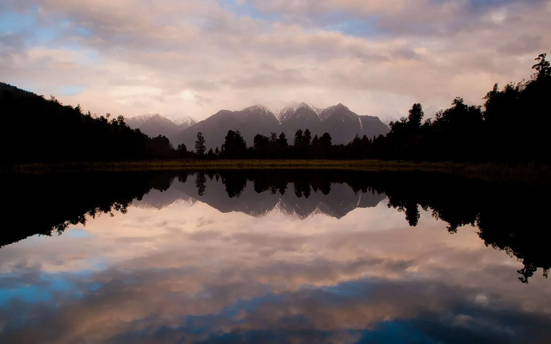
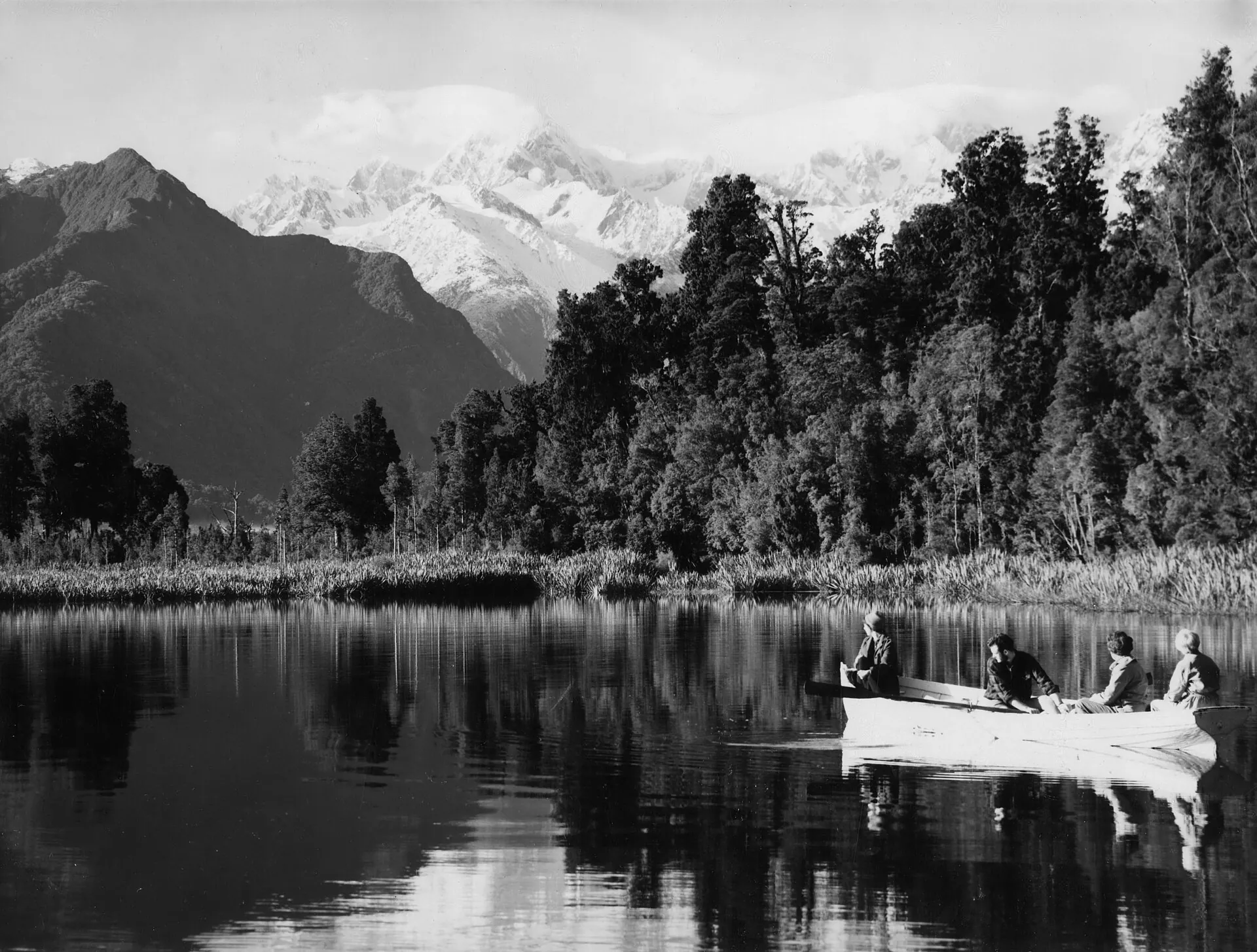
Māori settlement on the West Coast, Te Tai Poutini, clung to the lakes, lagoons and river mouths where food was plentiful. There were larger villages at Mahitahi and Makaawhio (Jacobs River) and a pā at Ōkārito, and occupation and seasonal harvesting at Ōkārito began more than 600 years ago. Travelling up and down the coast in search of pounamu, Ngāi Tahu became familiar with the glaciers, peaks and forests. Lake Matheson, Te Ara Kairaumati, was a mahinga kai where travellers caught eels and waterbirds. Local Māori later guided European explorers through country they knew intimately.
Today the people with mana whenua in South Westland are Kāti Māhaki ki Makaawhio, represented by Te Rūnanga o Makaawhio. Their marae, Te Tauraka Waka a Māui, opened at Mahitahi / Bruce Bay at dawn on 23 January 2005, the first marae on the West Coast for many years. Kāti Māhaki say that where hundreds of their people once lived in the wider South Westland area, fewer than 50 do today. That is one reason why jobs such as glacier guiding matter so much to the community.
European explorers and Haast's names (1859–1872)
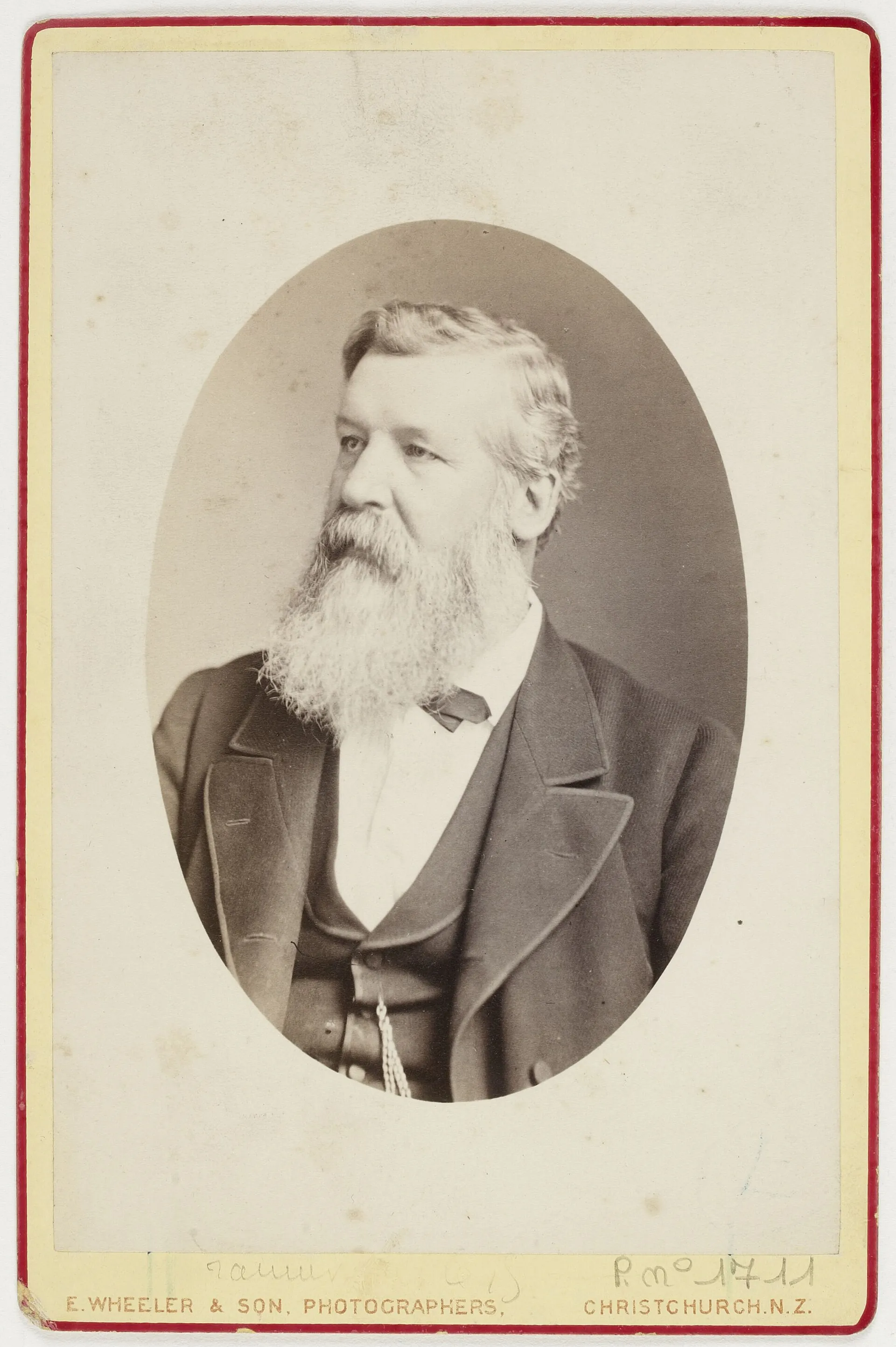
The first European description of a West Coast glacier, believed to be Franz Josef, was written in the log of the ship Mary Louisa in 1859. In 1865 the German-born geologist Julius von Haast, Canterbury's provincial geologist, explored the area. He named Franz Josef after Emperor Franz Joseph I of Austria and the glacier at the head of the Fox valley "Albert", after Queen Victoria's consort. When Haast reached the valley, the glacier was far bigger than today: its surface stood hundreds of metres higher, and Sentinel Rock had only just emerged from the ice. The lower Albert Glacier was renamed Fox after Premier William Fox visited in 1872; the Victoria Glacier, a tributary, kept its name.
The explorer and surveyor Charlie Douglas spent decades mapping South Westland's valleys in the following years. He later admitted that in his early days he "did not pay much attention to the glaciers".
Gold on the black sands (1865–1867)
Gold brought the first crowds. Within a year, in 1864–65, at least 16,000 miners poured into the rain-soaked West Coast. In spring 1865 prospectors found gold in the black beach sands of South Westland. Townships sprang up almost overnight at Ōkārito (over 1,500 people by 1866), Five Mile and Gillespies Beach. Just 18 months later they were virtually ghost towns. Ōkārito's Donovan's Store, the oldest known building on the West Coast, and the cemetery and dredge relics at Gillespies are what remain.
Smaller-scale mining went on for decades. At Franz Josef, pioneer miners drove a 500 m tunnel system from the Tatare Gorge to bring water to the Waiho terrace, and the village grew from that operation. You can still walk to the Tatare Tunnels and follow an old water race on the Callery Gorge Walk. Recreational gold fossicking is still allowed by hand in a designated stretch of the Waiho riverbed.
The glacier tourists and the Graham family (1900s–1950s)
As word of the glaciers spread, visitors overcame long, rough journeys to see them. By the start of the 1900s so many came that the government made annual grants to hoteliers for tracks and huts. In 1901 New Zealand became the first country in the world with a government tourism department, the Tourist and Health Resorts Department. Between about 1901 and 1913 it built the Copland Track across the Southern Alps to link the West Coast with the Hermitage at Mount Cook.
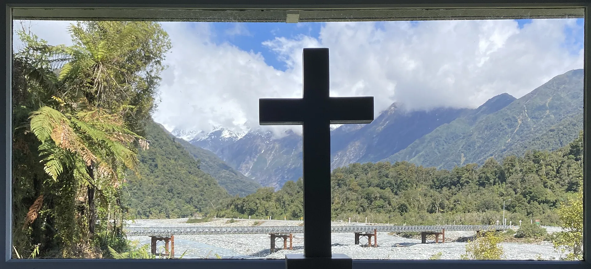
The Graham family became the backbone of early tourism at Franz Josef. Brothers Peter and Alec Graham were outstanding mountain guides, leading parties onto the ice and into the high peaks, and the family ran the hotel. Their services led to the building of St James Anglican Church in 1931, whose clear altar window framed the glacier until it retreated out of view by 1954. It briefly reappeared during the 1990s advance. Ngāi Tahu records also tell of Kāi Tahu guides leading settlers and visitors across the ice in the early 1900s, in exchange for supplies or koha.
Air tourism arrived early too. A 1936 National Geographic article described flying over the glacier with Captain Mercer, an aviation pioneer who also flew one of New Zealand's first air-mail routes.
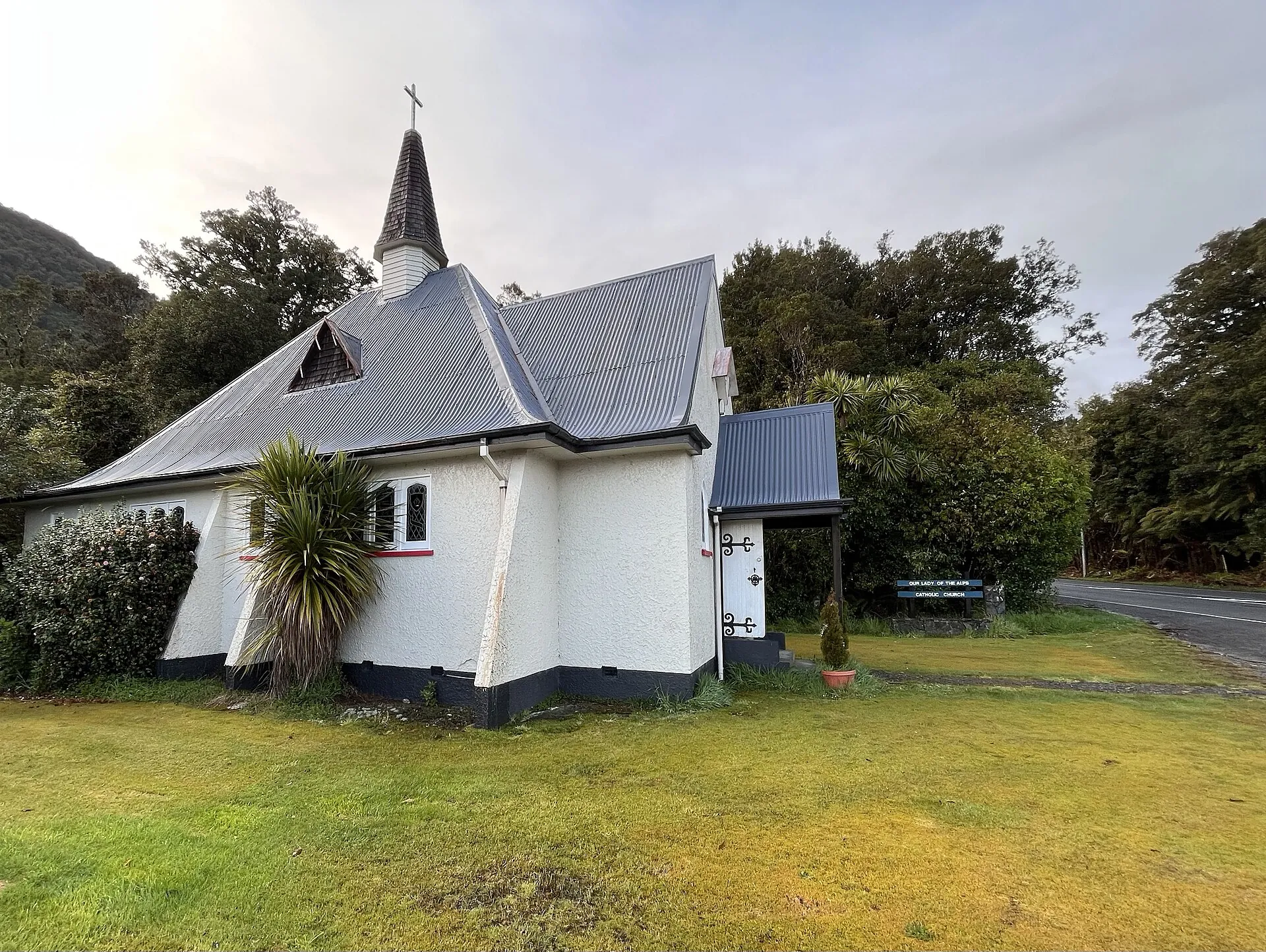
St James Anglican Church (1931), whose altar window once framed Franz Josef Glacier.
A national park and a World Heritage Area (1960–1990)
Calls to protect the snowfields and glaciers united West Coast support for a national park. On 29 March 1960, meeting in Greymouth as part of the Westland centennial, the Executive Council proclaimed Westland National Park. Its focus later widened from the ice to the lowland forest. Ōkārito and Waikukupa state forests were added in 1982, the upper Karangarua in 1983, and North Ōkārito and Saltwater forests in 2002, with more land added in 2010. Today Westland Tai Poutini National Park covers about 1,320 km², from Mount Tasman (about 3,500 m) to the coastal wetlands of Ōkārito.
In 1990 UNESCO inscribed Te Wāhipounamu – South West New Zealand on the World Heritage List: about 26,000 km² spanning Westland Tai Poutini, Aoraki/Mount Cook, Mount Aspiring and Fiordland national parks. It is one of the best surviving examples of the ancient Gondwana flora and fauna in the modern world.
Settlement, names and Ngāi Tahu Tourism (1998–2014)
The Ngāi Tahu Claims Settlement Act 1998, part of the Crown's settlement of Ngāi Tahu's historic Treaty of Waitangi claims, restored Māori names alongside English ones: Franz Josef Glacier / Kā Roimata o Hine Hukatere, Fox Glacier / Te Moeka o Tuawe and Franz Josef / Waiau ("swirling waters") for the village.
In 2014 Ngāi Tahu Tourism bought Franz Josef Glacier Guides, putting the main guiding business on the glacier back in iwi ownership. In 2025 the iwi magazine Te Karaka described a new generation of Kāi Tahu guides trained in tikaka (customs) and the stories of the land, sharing the legend of Hine Hukatere with more than 15,000 visitors a year.
Advance, collapse and the helicopter era (1983–2012)
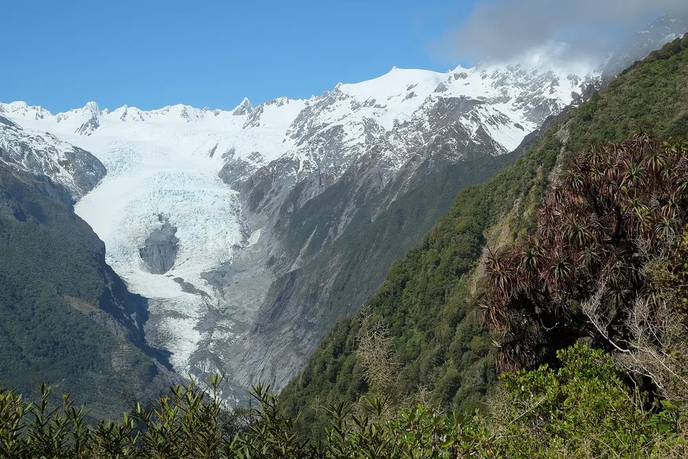
Franz Josef and Fox puzzled scientists by advancing between the 1980s and 2008, while most of the world's glaciers retreated. Franz Josef surged forward about 1.4 km between 1983 and 1999. In those years guided groups and independent walkers could reach the ice from the valley floor, and the village boomed: about 250,000 visitors in 2008, rising to about 700,000 by 2017.
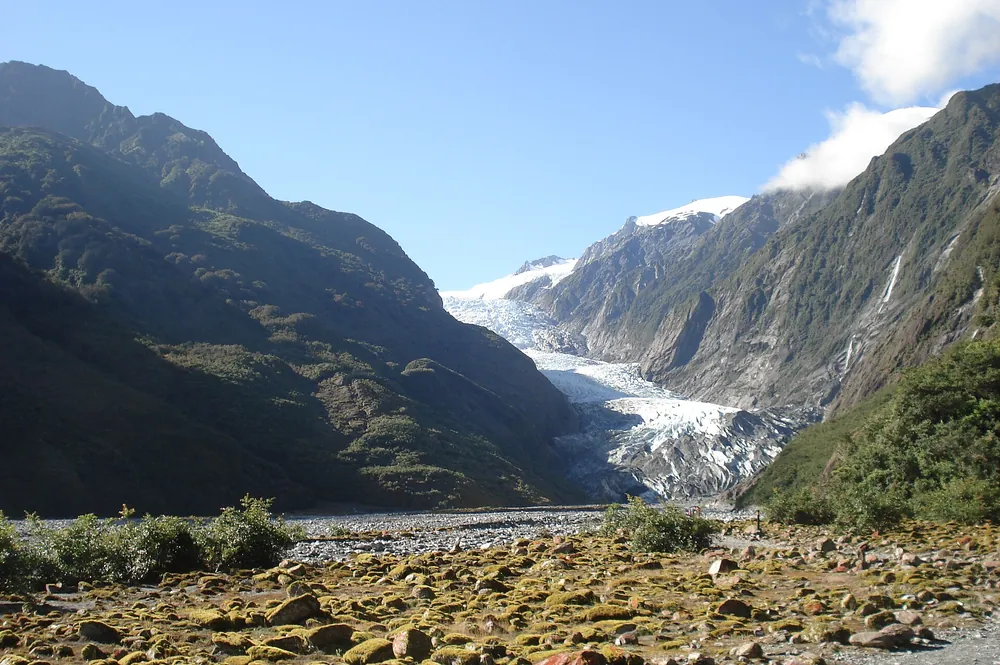
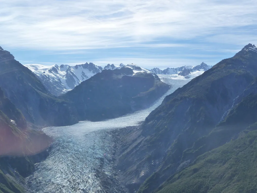
Then the glaciers turned. From 2008 Franz Josef retreated rapidly, about 1.5 km by 2017, leaving the lower valley a chaos of loose rock, stagnant ice and shifting river channels. In March 2012 the terminal face collapsed and walking access to the ice ended for good. Heli hikes, which had already existed, became the only way onto the glacier. Today the valley walk stops at a viewpoint about 3 km from the face.
The river that keeps rising (1965–2019 and beyond)
The Waiho River carries enormous loads of glacial gravel, and its bed is rising faster than the village around it. Floods have shaped Franz Josef's modern history:
- December 1965: after 280 mm of rain in two days, the river burst out of the glacier carrying chunks of ice all the way to the sea.
- April 1991: a Civil Defence emergency was declared after 246 mm of rain in 48 hours. A wall of slush swept down the valley and dumped up to a tonne of ice on the Waiho River bridge; 75 people were evacuated.
- February 2016: a flood caused about NZ$30 million of damage.
- 26 March 2019: around 400 mm of rain fell and the SH6 bridge over the Waiho, the only road link to South Westland, was destroyed. It was rebuilt and reopened in 18 days. In the same year landslides closed the old north-side road into Fox's valley.
- 2020 onwards: a government flood-protection package for Franz Josef (stopbanks and a higher bridge) was approved in 2020, and the long-term option of moving the village north towards Lake Mapourika has been studied.
Add the Alpine Fault, which runs right beside the village and which scientists estimate has about a 75% chance of a major rupture within the next 50 years, and Franz Josef is a place that lives with nature's power daily. Read more about the glacier itself in About Franz Josef Glacier.
- 600+ years ago
Māori occupation
Seasonal harvesting and settlement at Ōkārito and along the coast.
- 1859
First European description
The ship Mary Louisa logs a West Coast glacier, probably Franz Josef.
- 1865
Haast names Franz Josef
Same year: gold found in South Westland's beach sands.
- 1872
Fox Glacier named
After Premier William Fox's visit.
- c. 1901–1913
Copland Track built
By the world's first government tourism department.
- 1931
St James Church
Built with an altar window facing the glacier.
- 29 Mar 1960
Westland National Park
Proclaimed at Greymouth during the Westland centennial.
- 1990
World Heritage
Te Wāhipounamu – South West New Zealand inscribed.
- 1998
Dual names restored
Ngāi Tahu Claims Settlement Act.
- 2005
Marae opens
Te Tauraka Waka a Māui at Mahitahi / Bruce Bay.
- Mar 2012
Terminal face collapses
Walking access ends; helicopters only.
- 2014
Iwi ownership
Ngāi Tahu Tourism buys Franz Josef Glacier Guides.
- Mar 2019
Waiho bridge destroyed
SH6 reopened after 18 days.
Frequently asked questions
Who named Franz Josef Glacier?
The geologist Julius von Haast, in 1865, after Emperor Franz Joseph I of Austria.
What is the Māori history of Franz Josef Glacier?
Ngāi Tahu, and locally Kāti Māhaki ki Makaawhio, have long known the glacier as Kā Roimata o Hine Hukatere, the frozen tears of Hine Hukatere for her lover Tuawe. Māori travelled the coast for pounamu and food and later guided European explorers.
When did people stop walking onto Franz Josef Glacier from the valley?
After the terminal face collapsed in March 2012. Since then access to the ice has been by helicopter only.
When was Westland Tai Poutini National Park created?
As Westland National Park, on 29 March 1960. It has been enlarged several times since and is part of the Te Wāhipounamu World Heritage Area (1990).
What happened to the Waiho River bridge in 2019?
On 26 March 2019 heavy rain (around 400 mm) destroyed the SH6 bridge south of Franz Josef. It was rebuilt and reopened after 18 days.
Sources and official information
Facts were checked against these official sources in November 2026. Opening hours, prices and timetables change, so confirm before you go.
- doc.govt.nz
- ngaitahu.iwi.nz
- teara.govt.nz
- maorimaps.com
- legislation.govt.nz
- whc.unesco.org
- niwa.co.nz
- doc.govt.nz
- af8.org.nz
- en.wikipedia.org
- en.wikipedia.org
FranzJosef.com is an independent guide, not the official site of any glacier operator, the Department of Conservation or the Westland District Council. Some links are affiliate links: tours go to GetYourGuide and hotels go to Booking.com, and we may earn a commission at no extra cost to you.